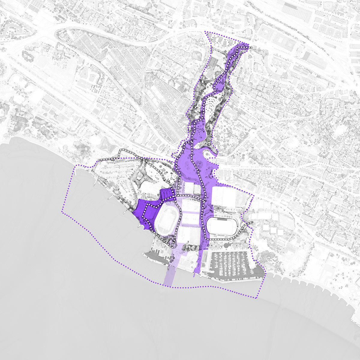
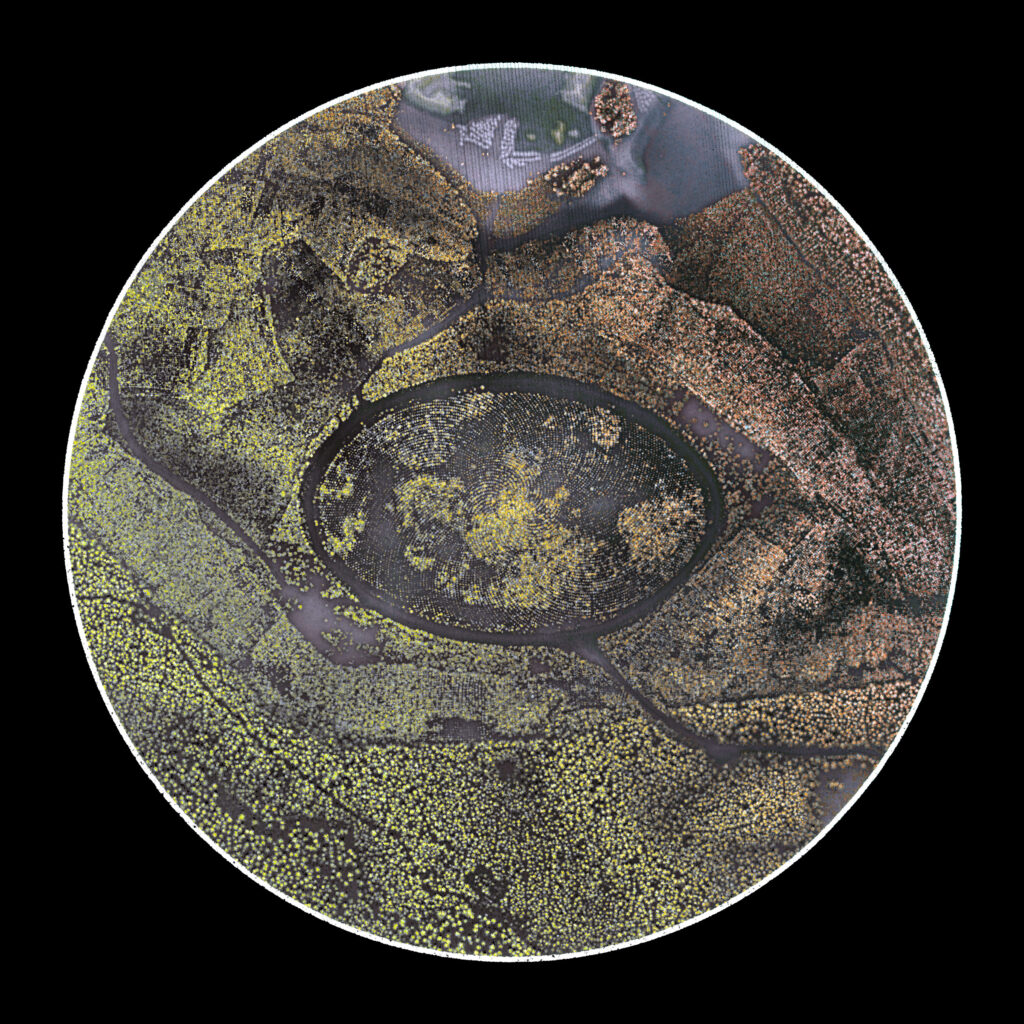
• Tree Mountain is an environmental art project conceived by artist Agnes Denes in 1982 and inaugurated in 1996 near Tampere, Finland. The elliptical-shaped work comprises over 10,000 pine trees planted according to a mathematical formula over a length of 420 metres, a width of 270 metres and a height of 28 metres. Tree Mountain contributes to the formation of a clean water table and is set to remain a protected area for centuries to come.

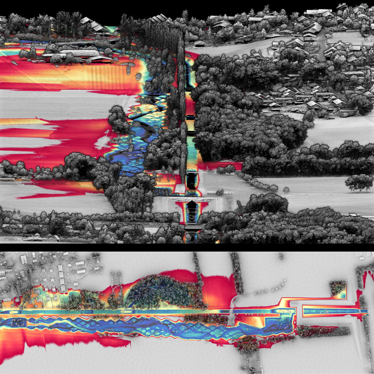
    Data Source: National Land Survey of Finland, https://asiointi.maanmittauslaitos.fi/karttapaikka/tiedostopalvelu, open data Attribution CC 4.0 licence

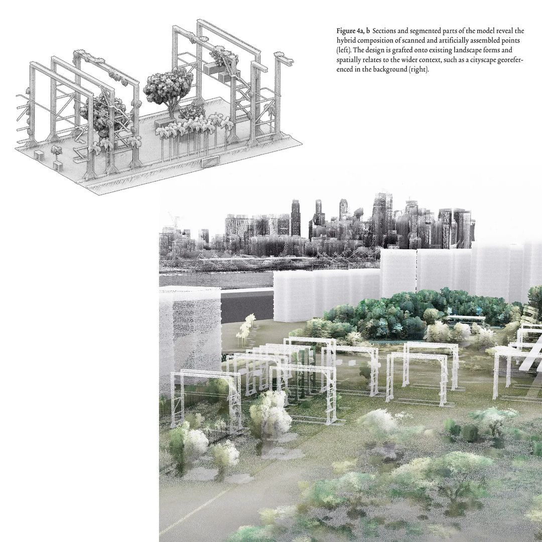
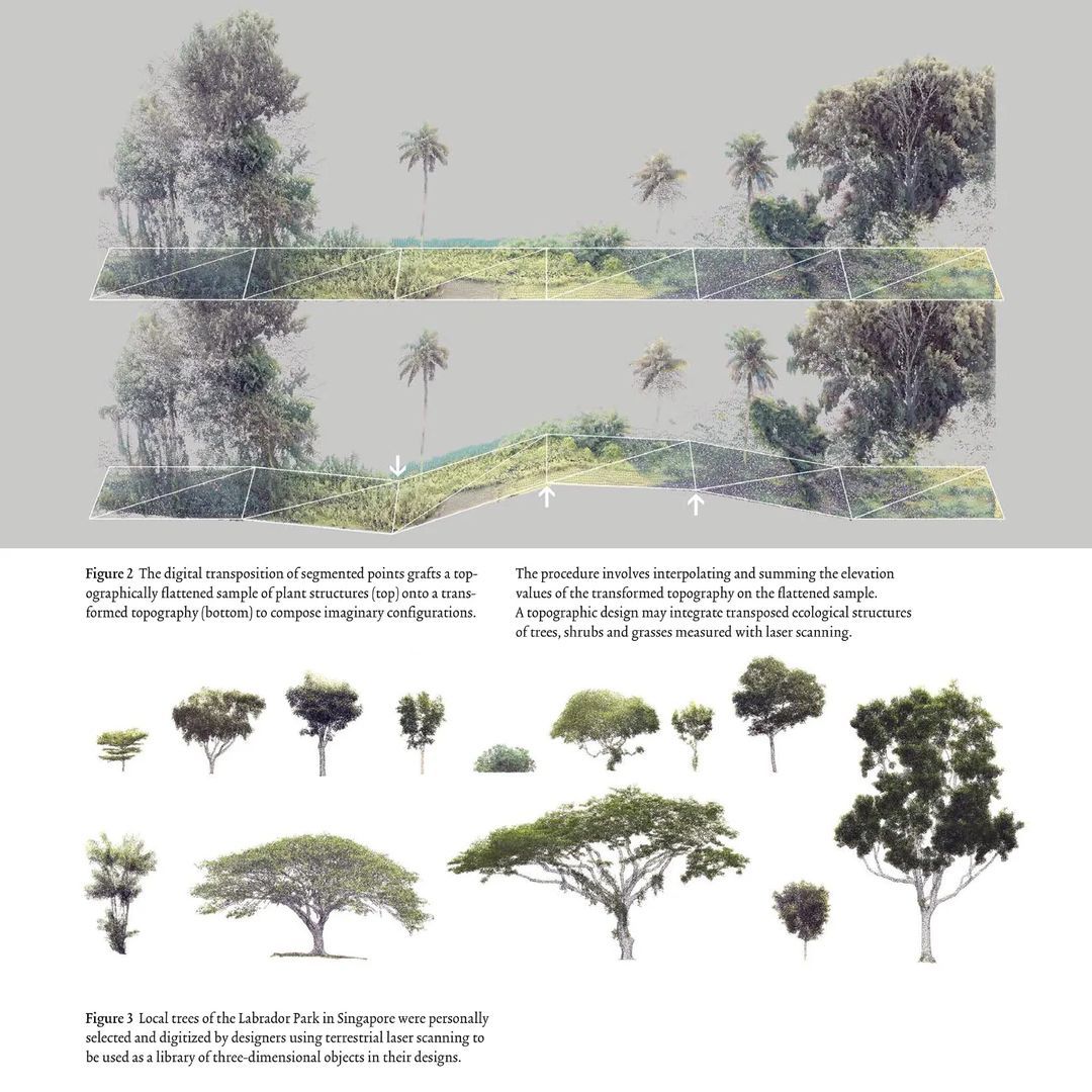
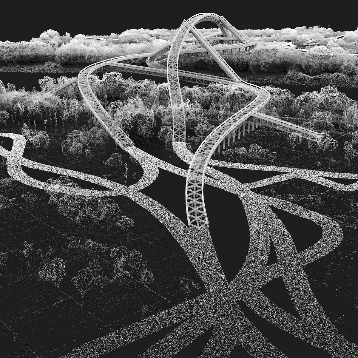
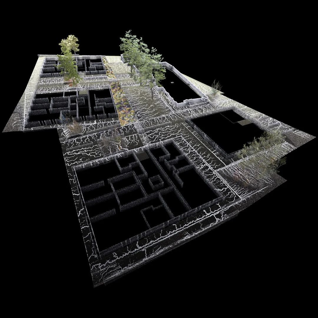
    Point Cloud Model: segmented, colored by intensity scales and occlusion, adjusted in post-processing, free to download https://skfb.ly/oJZRF

  • What is the imprint of topographic design? The design by George Descombes, started in the early 2000s and completed in 2015, demonstrates a site-specific approach that prompts a reflexion on the human-made artificiality and the natural flow of events. In this figure, a Relative Elevation Model (REM) based on a plane at river height was derived from the topographic lidar survey of 2019. The result highlights the microtopography around the river, in particular the rhombus tesselation eroded by the water flow.

    Source: schweizerkulturpreise.ch
    3D Model: https://skfb.ly/oCEKH
    Data: Lidar 2019 by Swisstopo

  • Working closely with the curatorial team through site visits, workshops and video conferences, we created documentation on the physical form of the urban landscape for the ongoing competition “Lausanne Jardins 2024”. The animation shown here is used in videos for the event. LJ24 is a cultural event that enables a bottom-up reflection on the city’s urban spaces.

    Video edited by Michael Hartwell
    3D model: https://lausannejardins.ch/potree/

  • Some human history is manifested in architectural artifacts ― a reminder on how ground, place and territory have always been an obsession for our kind. What is the difference in thought between placing the foundation stones of Tikal and those of a contemporary house?

    Open data by CyArk: https://doi.org/10.26301/708h-ss96
    Survey report: artsandculture.google.com
    Virtual tour: cyark.org

  • Happy to have contributed in an amazing team to the launch of the competition of Lausanne Jardins 2024. @lausanne.jardins is a cultural event that combines landscape architecture with reflection on the city. Maps based on lidar data, edited by Notter + Vigne.

    Website: https://lausannejardins.ch/

  • Plan view of the competition design (1st prize), developed within the topographic polder setting of the Qinhuai River’s mouth into the Yangze.

    Project: Qinhuai New Pedestrian Bridge in Nanjing // Architecture: Christian Kerez // Landscape Design: Philipp Urech (Topostudio), Liu Yiqiu // Structural Engineer: Joseph Schwartz // Collaborators: Yan Junjie, Liu Yiqiu

    See 3D model: https://skfb.ly/oxELo

  • Every environment, whether spontaneous or fully cultivated, has an aesthetic character that is expressed in its landscape forms and interstitial spaces. Staging perspective experience within such variegated contexts involves developing spatial relationships of views such as panoramas, cityscape, punctures or sightlines. Point cloud modelling extends the imagination of spatial relationships between existing and new elements beyond pictorial techniques like the diorama. (Model by CHAN Chuen Yan, SOON Ian Wen)

    Journal of Landscape Architecture, Open Access: https://doi.org/10.1080/18626033.2022.2110422

  • Three shaping actions with point cloud modelling can support the development of a site-specific design: forming, placing and staging. These topographic shaping actions together constitute a design method that can help designers to interact with the natural and human-made elements of the landscape and to invent numerous possibilities for spatial arrangements.

    Journal of Landscape Architecture, Open Access: https://doi.org/10.1080/18626033.2022.2110422

  • The three most common workflows in digital modelling are the diorama, the postproduction and the three-dimensional reconstruction. They have become pervasive in design, yet they prevent creating a precise spatial understanding and limit the design process for three main reasons: the models are not epistemic, not idiosyncratic, and not trans-scalar.

    Journal of Landscape Architecture, Open Access: https://doi.org/10.1080/18626033.2022.2110422

  • 3D model of the Hoover Dam with circular cut though the spillways. Coloration is based on geometry, combining ambient occlusion and slope degrees. The points in the 3D model are subsampled for fast optimized viewing speed.

    Source: https://usgs.gov/NationalMap/LidarExplorer
    3D model: https://skfb.ly/ox7Au

  • A precise digital model was crucial to analyse the placement of the new pedestrian bridge. The digital model indicates topographic elevations ranging from 4.5 to 13.5 m above sea level in the form of polders that are drained by pumping stations. The height of current vegetation ranges from 3 – 40 meters. The digital model allowed us to calculate precisely earth changes as a base for the design proposal.


    Project: Qinhuai New Pedestrian Bridge in Nanjing, 1st prize
    Architecture: Christian Kerez
    Structural Engineer: Joseph Schwartz
    Collaborators: Yan Junjie, Liu Yiqiu
    Landscape Design: Philipp Urech (Topostudio), Liu Yiqiu

  • Weixin: “The pedestrian bridge project is located at the intersection of the Mingwai Guo-Qinhuai Xinhe Baili Scenic Belt and the Yangtze River. It will become a city-level landscape landmark in Nanjing, an important display window for Nanjing’s international image, and an important urban gateway node in Nanjing’s Binjiang area, convenient and comfortable, an urban leisure destination for encountering finless porpoises.”

    Source: https://mp.weixin.qq.com/s/DF3cCG1O3GlnGEYRkpa3jw


    Project: Qinhuai New Pedestrian Bridge in Nanjing, 1st prize
    Architecture: Christian Kerez
    Structural Engineer: Joseph Schwartz
    Collaborators: Yan Junjie, Liu Yiqiu
    Landscape Design: Philipp Urech (Topostudio), Liu Yiqiu

  • Archiposition: “From November 2021 to May 2022, the Nanjing Municipal Bureau of Planning and Natural Resources, the Yuhuatai District People’s Government, and the Hexi New Town Management Committee hosted an international competition for the design of the Qinhuai New River Entrance Pedestrian Bridge (tentative name). After several rounds of review, the proposal submitted by Christian Kerez Zürich AG & Dr. Schwartz Consulting AG won the bid.” Source: https://www.archiposition.com/items/bcdd6aef10


    Project: Qinhuai New Pedestrian Bridge in Nanjing, 1st prize
    Clients: Nanjing Municipal Bureau of Planning and Natural Resources, Yuhuatai District People’s Government, Hexi New Town Management Committee
    Architecture: Christian Kerez
    Structural Engineer: Joseph Schwartz
    Collaborators: Yan Junjie, Liu Yiqiu
    Landscape Design: Philipp Urech (Topostudio), Liu Yiqiu

  • Point cloud models are not only a precise source of geometric information; they also help to express the idiosyncratic atmosphere of places. I am proud that a reworked version of the Piazza Grande 3D model will be featured on August 10th at the 75th Locarno Film Festival @filmfestlocarno in the short movie “Postcard from the Future” by Kevin B. Lee, Professor of the Future of Cinema at USI @usiuniversity.

    Model: https://skfb.ly/6qFTn
    Tickets: https://www.locarnofestival.ch

  • How do we design places that have continuously evolved under human interaction? Happy to share my research at the Kongju National University. I’m grateful to vice-dean prof. Moohan KIM for his interest in my work and for reaching out. It is exciting that we share similar interests and questions at both ends of the Eurasian continent.

  • The microtopography is designed to let surface water run off into gullies that lead it towards a cleaning basin. Landscape design (in progress) by Topostudio, for a housing complex in Höri, canton Zurich, Switzerland, designed by Dello Buono Architekten.

    Model: https://skfb.ly/ou8RS

  • Demineralization in combination with topographic shaping should be implemented systematically in urban environments to restore living functions of the soil in cities. Many thanks to Henriette Lutz @henriettelutz.ch for citing our project Regenerating Carouge Grounds in her last contribution in werk, bauen+wohnen.

    Video: https://youtu.be/2Oc81iFsGA4

    Article: https://www.wbw.ch

  • Q: How did the issues on metabolic and inclusive vitalities and the questions raised by the site mutation meet?
    A: The issues were negotiated on an element that we think is fundamental and often underdeveloped in urban design: topography, which constitutes the cornerstone of public space. A careful and precise manipulation of the near-surface soil presents the potential of regenerating degraded environmental functions and social uses of the pedosphere in urban environments as a life-sustaining layer of Earth’s Critical Zone.

    video: https://youtu.be/2Oc81iFsGA4
    interview: https://www.europan-europe.eu/en/exchanges/regenerating-carouge-ground

  • Our entry for the Europan E16 @europan_europe competition “Carouge – Fontenette: Reinventing A Territory With Nature”. The third panel presents design strategies around CONNECTING PUBLIC SPACES that aggregate for a ‘Re-Invention’ of Carouge. Lidar measurements by @Swisstopo are used to reproduce and enhance the atmosphere and aesthetics of the site. Project in collaboration with Dr. Antoine Vialle (architect) and Dr. Yannick Poyat (engineer). Our proposal was rewarded with the second prize.

    https://www.europan-europe.eu
    https://www.europan.ch/

  • Our entry for the Europan E16 @europan_europe competition “Carouge – Fontenette: Reinventing A Territory With Nature”. The second panel presents design strategies around THREE SOILS based on a Circular Economy of Materials. The proposal draws on lidar measurements by @Swisstopo to precisely deconstruct and manipulate the existing topography, then simulate runoff. Project in collaboration with Dr. Antoine Vialle (architect) and Dr. Yannick Poyat (engineer). Our proposal was rewarded with the second prize.

    https://www.europan-europe.eu
    https://www.europan.ch/

  • Our entry for the Europan E16 competition “Carouge – Fontenette: Reinventing A Territory With Nature”. The first panel presents design strategies around ECOLOGICAL CORRIDORS that promote demineralisation, soft mobility and metabolic exchanges. The proposal draws on lidar measurements by @Swisstopo to fully conceptualize in 3D an urban transformation with both maximum effect and minimal impact. Project in collaboration with Dr. Antoine Vialle (architect) and Dr. Yannick Poyat (engineer). Our proposal was rewarded with the second prize.

    https://www.europan-europe.eu
    https://www.europan.ch/

  • Traces of the Anthropocene. A web of infrastructure engulfs historical artifacts of Strasbourg @strasbourg_eurometropole such as the Vauban Dam (1), the Glacis Park (2) and the Citadel Park (3). However, the addiction of contemporary society to oil has led to an unprecedented urbanization and mechanization of the landscape. Despite increasing uncertainty in forecasts, one future is beyond doubt: Peak Oil will occur in this century (Miller and Steven 2014, The Shift Project 2021). Ensuing decline may profoundly transform our economy and lifestyle. In this view, any urban plan with more than a 20-year horizon has no choice but to implement resilience and densification measures, such as the Two Riversides project (4) @strasbourgdeuxrives.

    Data source: https://data.strasbourg.eu/
    REF: Miller, Richard G., and Steven R. Sorrell. “The Future of Oil Supply.” Philosophical Transactions. Series A, Mathematical, Physical, and Engineering Sciences 372, no. 2006 (January 13, 2014): 20130179. https://doi.org/10.1098/rsta.2013.0179.
    http://theshiftproject.org/

  • Traces of the Anthropocene. The rectification of the Rhine is the artificial shortening of the upper Rhine, and was implemented between 1817 and 1876 according to the plans of Johann Gottfried Tulla, making the Rhine navigable until Basel in 1907 (Cioc 2002). A barrage (2) diverts an average flow of 1100 mq/s to the power station (1) with a drop of about 13 m. Century old alluvial meanders are engraved in the topography of the Rohrschollen Island (4) and the Neuhof-Illkirch nature reserve, which is irrigated by the Rhin Tortu (5) and the Schwarzwasser (6).

    Data source: https://data.strasbourg.eu/
    REF: Cioc, Mark. 2002. The Rhine: An Eco-Biography, 1815-2000. Weyerhaeuser Environmental Books. Seattle: University of Washington Press.

  • Traces of the Anthropocene. Geipolsheim (1) is an ordinary municipality in the Bas-Rhin department in France. Yet, beyond the mundane look, its influence on the surrounding rural lands is evident in the radially engineered soil to allow for cultivation and circulation on ridges (2). The forested areas, whose perimeter is represented by dots, are crisscrossed with small depressions that indicate drainage work (3).

    Data source: https://data.strasbourg.eu/